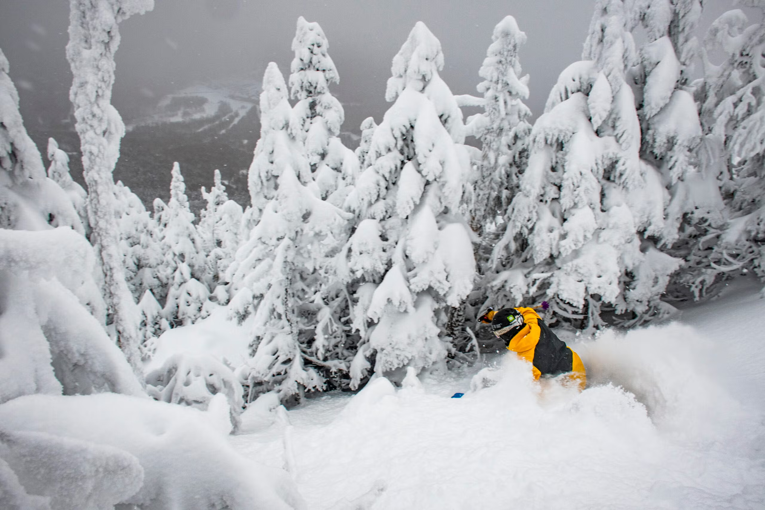
The forecast is far from a lock, but it gives skiers another reason to start obsessing over this winter.
(Photo: Courtesy of Jay Peak)
Published August 10, 2026 09:41AM
It’s August, so naturally we’re obsessing over what the coming winter might bring. Enter the Farmers’ Almanac with its annual analysis and predictions—right on time and giving us even more weather cud to chew as we melt in the summer heat.
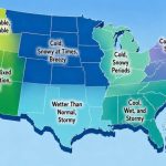
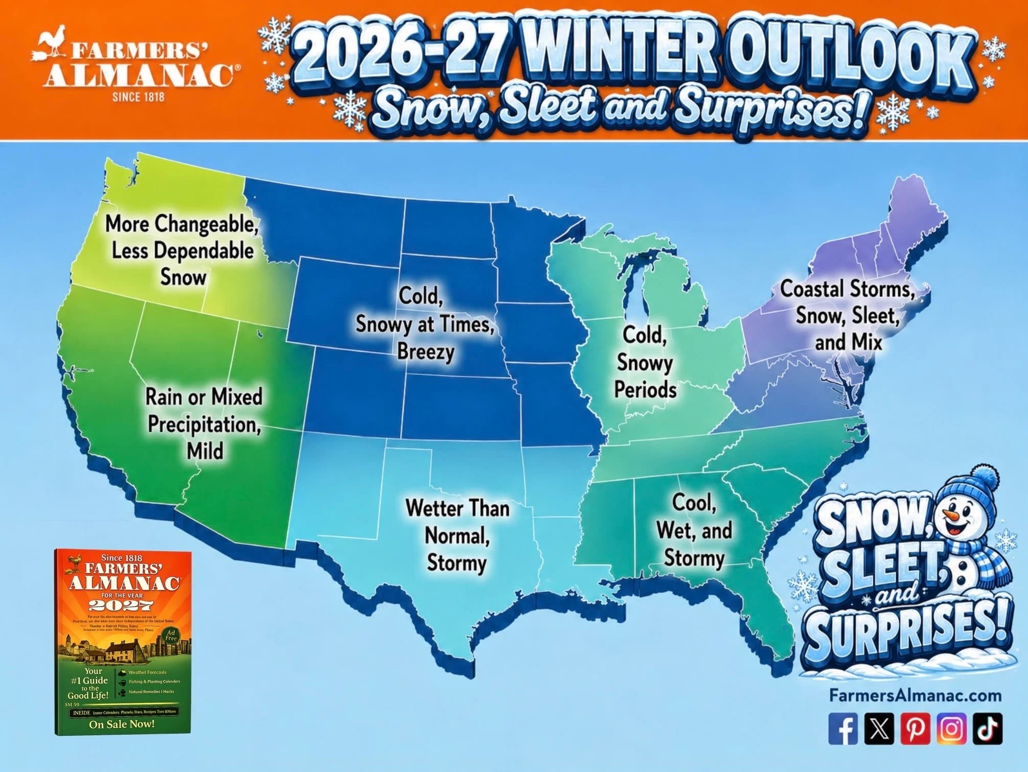
According to the Almanac, which has been sharing its winter outlooks for over 200 years, the 2026–’27 winter forecast calls for a season of sharp contrasts, including an active storm track across the South, frequent bursts of snow and bitter cold in the North, and a particularly messy mix of rain, sleet, ice, and heavy snow in the Northeast.
If you zoom out, the Alamanc’s predictions align well with NOAA’s and other meteorologists’ extended outlooks. That’s thanks in part to El Niño, which the Almanac expects to remain an important influence throughout the winter. The resulting storm track could run from Southern California and the Desert Southwest through Texas, the Gulf Coast, and the Southeast, bringing wetter-than-normal conditions to much of the southern United States. Here’s how the Almanac seeing things playing out, region by region.
A Good Winter for the Southern Rockies?
The Almanac isn’t forecasting snowfall totals for individual ski resorts this far out, but its broader pattern is encouraging for places such as southern Colorado and New Mexico. An active southern storm track, combined with periods of colder air, could mean frequent opportunities for snow in the mountains.
That doesn’t necessarily mean nonstop powder. The same storm systems bringing moisture to the region could also produce rain, sleet, or wet snow at lower elevations, particularly when temperatures are marginal. For skiers, the important takeaway remains that the southern Rockies could be a particularly good place to be when the pattern is active.
Out West, It’s Not About Big Storms
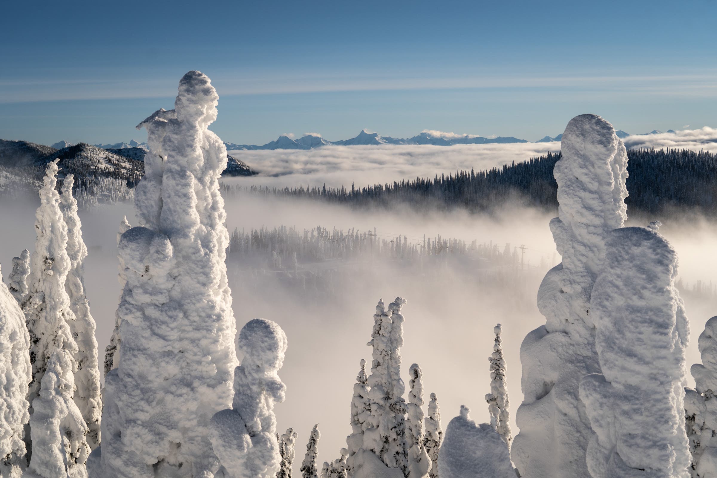
The picture gets less clear as you head north. Across much of the West, the Almanac expects temperatures to average near normal, with fast-moving storms, quick cold snaps, and brief snowy periods interrupted by milder stretches. That sounds less like a season-long powder cycle and more like a winter of feast and famine.
The Pacific Northwest gets an even less encouraging outlook. The Almanac describes the region’s snow season as more changeable and somewhat less dependable, suggesting that skiers in Washington, Oregon, Idaho, and British Columbia may have to contend with more variability than they would like.
This doesn’t necessarily mean a bad season, though. Long-range forecasts can’t tell us when individual storms will hit, and a single well-timed atmospheric river can transform a season in the Cascades. But the broad pattern isn’t screaming “lock in your powder week in the Northwest.”
A Rollercoaster in the Northern Rockies and Midwest
Farther east, the forecast calls for frequent swings between thawing and freezing, with sudden snow squalls, strong winds, and bursts of bitter cold across the northern Plains, Upper Midwest, and Great Lakes.
Also Read: The Last Big El Niños Didn’t Deliver What Skiers Expected. Here’s Why That Matters Now.
For skiers, that could translate into a familiar but frustrating cycle: a storm rolls through, temperatures plunge, conditions improve, and then a milder stretch moves in to undo some of the gains.
The good news is that near-normal temperatures don’t mean a snowless winter. The Almanac is calling for plenty of short-lived winter weather events. The bad news is that those events may come in bursts rather than as a sustained pattern. The best advice for skiers is to watch the forecast, and be ready to pounce.
The Northeast *Could Get Plenty of Snow—With an Asterisk
The Northeast may have the most complicated outlook of all. The Almanac expects inland parts of the region to see several rounds of heavy, wet snow, particularly in January and February. That’s potentially good news for ski areas, but the forecast comes with a giant asterisk: temperatures may hover close to freezing, meaning some of the goods might fall as rain..
A small shift in storm track or temperature could mean the difference between a powder day and a rainy day, fluffy snowfall and freezing sleet. For skiers, that means the Northeast could have some very good days buried inside a very changeable winter.
So, Where Should Skiers Be Watching?
If you squint at the Farmers’ Almanac forecast through a skier’s lens, a few themes emerge.
- The southern Rockies look like the most intriguing bet right now. An active southern storm track and wetter-than-normal conditions could put Colorado, New Mexico, and Arizona in position for a busy winter, particularly when cold air is in place.
- The Northeast could see significant snow, but precipitation type will be the wild card. Inland ski areas may do well during the January and February storms the Almanac is highlighting, while coastal areas could see more rain and mixed precipitation.
- The northern tier—Montana, Wyoming, Idaho—looks active but inconsistent. Expect cold snaps and snow bursts, but also milder interruptions.
- The Pacific Northwest is the biggest question mark. The Almanac’s call for a changeable and less dependable season doesn’t mean poor skiing, but it doesn’t offer the kind of long-range confidence powder hunters dream about, either.
And that’s ultimately the most important caveat to this—or any—August winter forecast. The Farmers’ Almanac is making a broad regional prediction months before individual storms can be forecast with any accuracy. Its own methodology combines historical patterns and natural cycles with modern meteorological data, but the forecast isn’t a promise of what any particular ski area will experience.
But still, it’s August. This is the time of year when we’re allowed to speculate and daydream about potential powder days. How else are we supposed to get through these dog days of summer? So take it with a grain of salt and continue to pray for snow.