Utah just got June snow as wildfires burn nearby. Here’s the surprising reason the same storm fueled both.

(Photo: Courtesy of Brighton Resort)
Published June 29, 2026 02:29PM
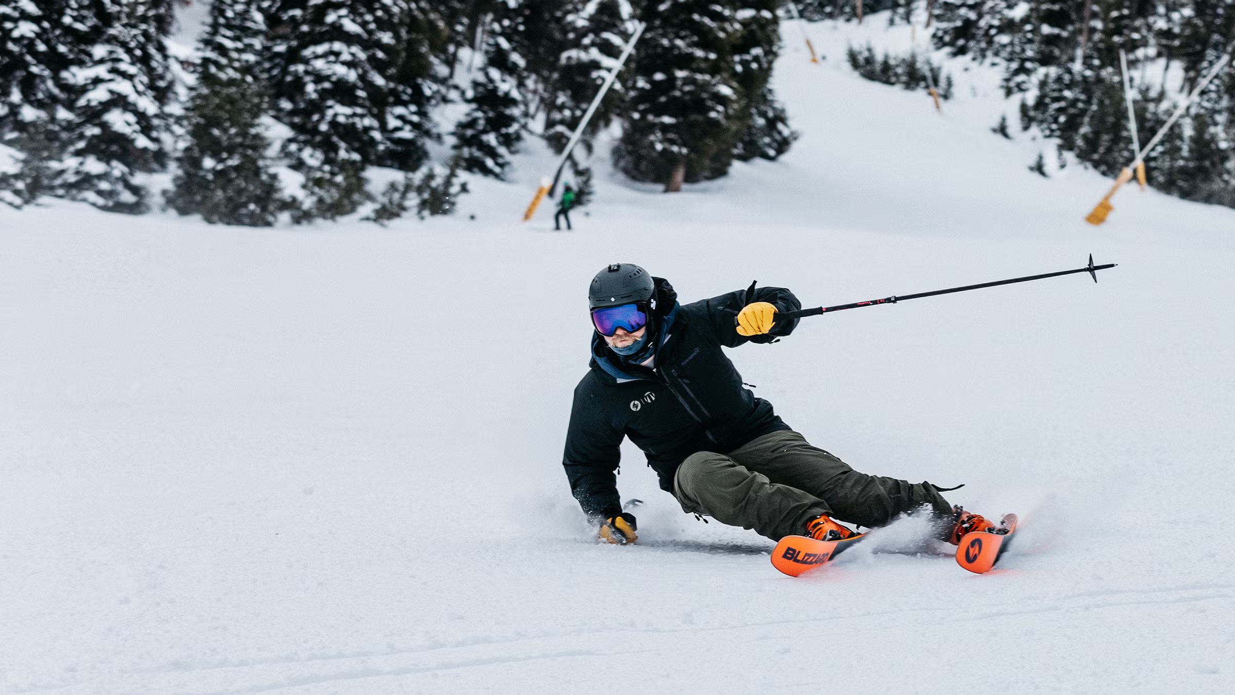
A rare late-June winter storm dusted Utah’s highest ski resorts with fresh snow over the weekend—even as the same weather system helped fuel one of the state’s worst wildfire outbreaks in recent memory.
Videos and images from Alta, Snowbird, and Brighton showed flakes falling Sunday morning, offering a surprising reminder that winter can still make an appearance in the Wasatch just days before July.
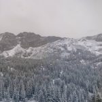
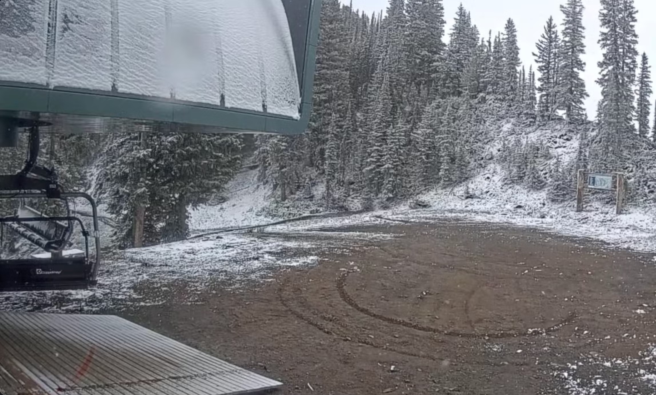
While late-June snow isn’t unheard of in Utah’s highest terrain, it stood in stark contrast to conditions elsewhere across the state. At lower elevations, the powerful low-pressure system generated strong, dry winds that rapidly spread multiple wildfires burning across Utah and along the Utah-Colorado border.
As of press time, nearly 100,000 acres had burned, with several large fires still largely uncontained. Three firefighters have been killed, two others injured, and Red Flag Warnings remain in effect across much of the state.
It’s a reminder that the same storm can produce dramatically different weather depending on elevation and location. Cold air wrapping around the system was enough to squeeze out snow on the Wasatch’s highest peaks, while powerful winds and dry air on the storm’s southern and eastern flanks created dangerous fire weather elsewhere.
The storm also brought snow to high elevations in Montana, Wyoming, and Idaho, though accumulations were generally light and confined to the highest peaks.
SKI has reached out for more information and will update accordingly.